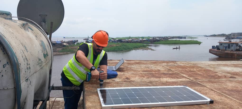
Fuel consumption monitoring and GPS location tracking of Congo River or Sea vessels (ships, boats, dredges, fishing trawlers, etc.) allows shipowners and ship operators to reduce operation costs by minimizing idling time of fleet, preventing fuel theft and improving crew discipline.
Usct gps tracking system provides precise information on vessel’s position, real fuel consumption, engine operation hours in different work modes (idle, optimal, overload), possible fuel draining from tank and other necessary operation parameters. Information is gathered and analyzed by CANUp telematics gateway and sent to the web-based ORF4 telematics service, where it can be displayed on virtual dashboard and as tables and charts.
Based on data from DFM flow meters on fuel consumption by engine modes, it is possible to calculate the amount of carbon dioxide (CO2) emissions into the atmosphere, as well as find ways to reduce the carbon footprint of watercraft vessels: limiting idle time, consumption based engine diagnostics, selection of the optimal speed, switching to biodiesel

